State Profile
| Geographical Location | North Latitude between 8018' and 120 48' East longitude between 74052' and 770 22 |
| Date of formation | November 1, 1956 |
| Area | 38 863 sq KM |
| States / UTs with which border is shared | Tamil Nadu, Karnataka and Puducherry |
| Capital | THIRUVANANTHAPURAM |
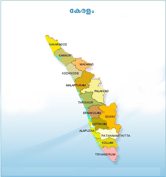
| Districts | 14 |
| Revenue Divisions | 21 |
| Taluks | 75 |
| Villages | 1020 |
| Panchayats | 941 |
| Municipalities | 87 |
| Corporations | 6 |
| Development Blocks | 152 |
| Total Male Electorate | 12110468 |
| Total Female Electorate | 12955007 |
| Total Third Gender Electorate | 21 |
| Total Electorate | 25065496 |
| Total Polling Stations | 24970 |
| Total LACs | 140 |
| Total HPCs | 20 |
| Total Rajya Sabha seats | 9 |
- 811 views